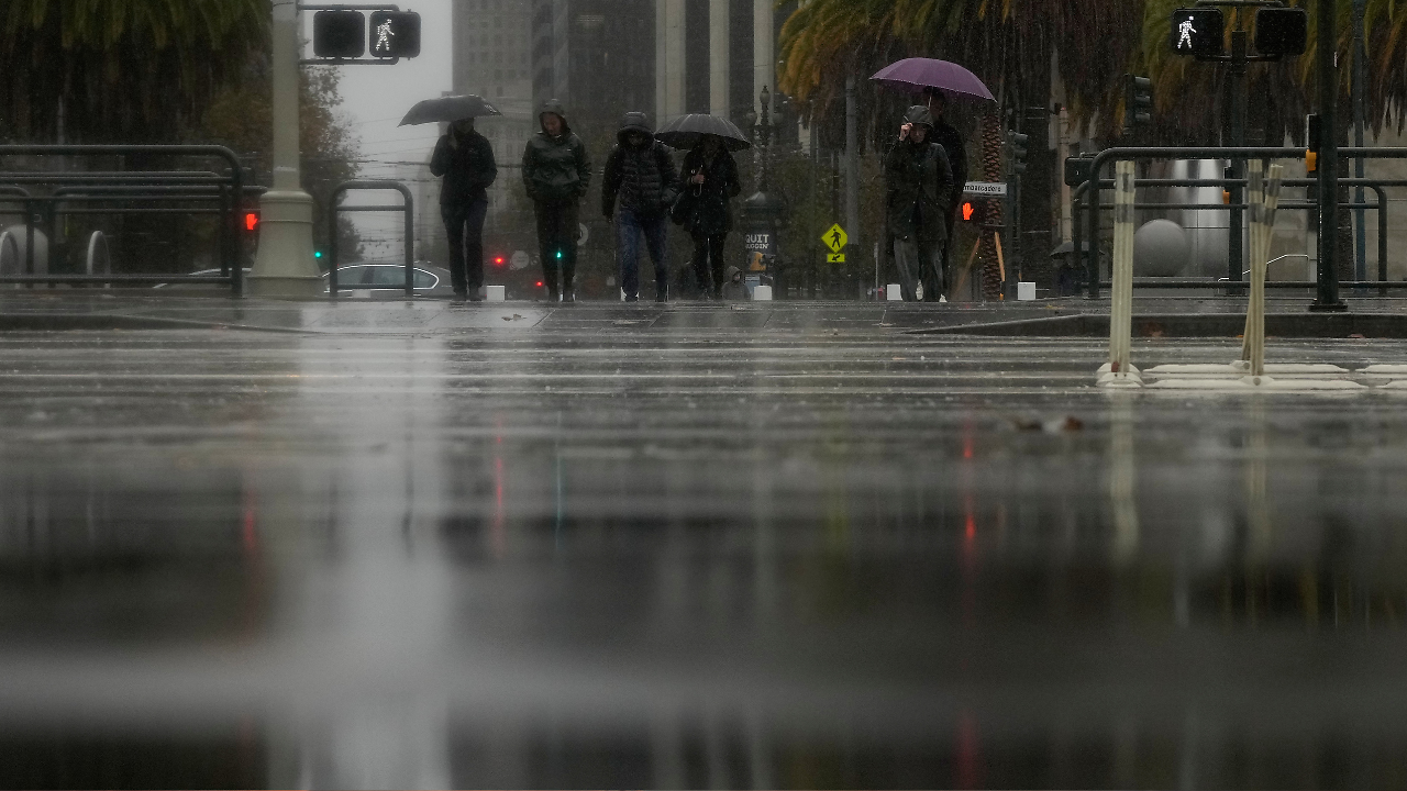
San Francisco Flood Map: Roads Closed, Flights Delayed As Heavy Rains Lashes Bay Area
\n\nA powerful storm has left much of the Bay Area underwater, with roadways flooded across the region, reports of downed trees, and thousands without power as of Wednesday afternoon. The heaviest rain hit Wednesday morning, and some streets were so flooded that water spilled out through storm drains.
\n\nAccording to ABC7 Eyewitness News, the storm was upgraded to a Level 3. It also spawned a rare Severe Thunderstorm Warning for parts of San Mateo County, where wind speeds were expected to reach up to 70 mph. The worst of the rain was expected to move out of the region by 2 p.m.
\n\nIn San Francisco, a viewer’s video showed intense flooding in the Mission District, with the biggest flooding at 17th and Folsom Streets and water coming up through storm drains. Near the Panhandle neighborhood, streets at Oak and Cole Streets were completely flooded, and drains were overflowing. A stalled Waymo vehicle blocked traffic there, and Waymo has since paused service in the Bay Area, saying safety is its top priority for riders and everyone it shares the road with.
\n\nFlooding and hazardous conditions also hit…
Original source: https://www.timesnownews.com/latest-news