NYC Flood Watch: Heavy Rain, Tornado Risk Threaten Tri-State Area
- Edited by: Sagar Kar
- Updated Aug 21, 2026, 00:02 IST
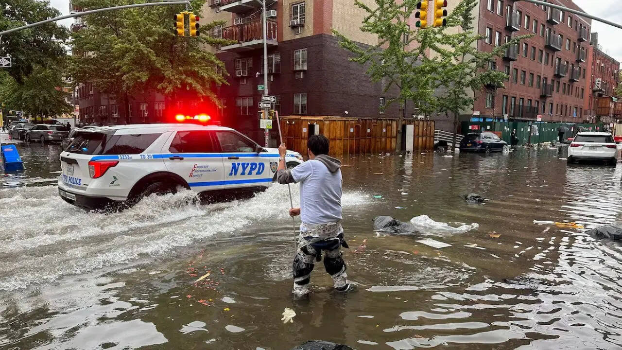
A flood watch is in effect across most of the Tri-State Area, including New York City, as heavy rain and thunderstorms bring a small tornado risk and flash flooding threat.
Representative image.
Heavy rain and thunderstorms are moving through New York City and the Tri-State Area today, prompting a flood watch and even a small tornado risk for parts of the region.
A flood watch is in effect for much of the Tri-State Area, including New York City, running from noon until 2 a.m. Most of New Jersey and Long Island fall under the watch, and New York City along with communities to the south are facing a flash flooding threat as well.
CBS News has declared it a First Alert Weather Day as a fresh round of heavy rain and strong thunderstorms pushes into the area, bringing the potential for both flooding and isolated severe weather.
How the day is expected to unfold
Skies will start clouding up by lunchtime, with a few isolated showers possible inland. Afternoon highs are expected to reach the low 80s before conditions take a turn for the worse.
The bigger concern kicks in during the afternoon commute and carries into the evening. Showers and thunderstorms are expected to spread out and intensify, with some storms strong enough to produce damaging wind gusts, torrential downpours, and localized flash flooding. Forecasters are also tracking a 2% to 5% tornado risk across parts of the area, adding extra uncertainty to an already messy forecast.
Rain could fall at a rate of 1 to 3 inches per hour, with total accumulations expected between 1 and 2 inches. Some spots could see even higher totals, potentially reaching 3 to 5 inches.
What’s driving the storm
Bloomberg reports that a cold front moving toward New York City is behind today’s rain and thunderstorms, with the evening commute and air travel both expected to take a hit. Brian Ciemnecki, a meteorologist with the National Weather Service, reportedly said light afternoon showers are forecast to intensify into heavy rainfall around 4 p.m. New York time, raising the risk of flash flooding. He said the city could see roughly 2 to 2.5 inches of rain.
Air travel is already feeling the impact. As of noon local time, more than 250 flights had been canceled between John F. Kennedy International and LaGuardia airports, with roughly 200 more delayed.
The Weather Prediction Center said the stretch of the East Coast from I-95 up through the northern Mid-Atlantic coast could see heavy rain and embedded thunderstorms. Along with New York City, the center flagged Baltimore and Philadelphia as the metro areas facing the highest chance of flash flooding.
What comes next
Conditions are expected to improve Friday, with a mix of sun and clouds and highs near 80 degrees. That break won’t last long, though. Saturday is shaping up to bring another round of heavy rain and strong storms, with CBS News already flagging it as another First Alert Weather Day.
Latest News


Sagar is a journalist with an interest primarily in geopolitics and American domestic politics. Before joining Times Now, he wrote for Republic and Sw… View More
Original source: https://www.timesnownews.com/world