Yuba Fire Evacuation Map: Nevada City Residents Warned As Wildfire Spread
- Reported by: Naman Trivedi
- Updated Aug 13, 2026, 04:05 IST
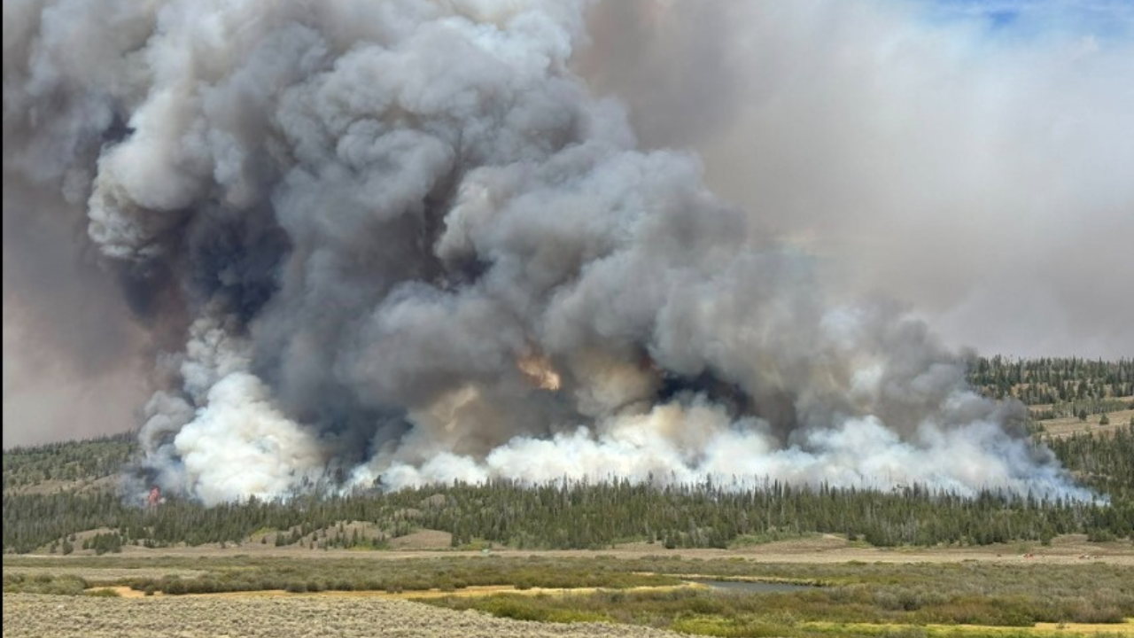
The Yuba Fire in Nevada County burned 12 acres and prompted evacuation warnings as crews battled dangerous fire spread and threats to structures.
Representational image
The Yuba Fire in Nevada County, California, prompted evacuation orders and warnings Wednesday as firefighters battled a rapidly spreading wildfire threatening structures.
Cal Fire said crews were responding to the fire off Yuba Ridge Drive in Penn Valley, west of Grass Valley and north of Rough and Ready. The fire had burned 12 acres as of 3 PM.
“The fire is burning at a dangerous rate of spread and short range spotting has been observed,” Cal Fire said. Air tankers were placed on no-divert status to protect life and safety.
Yuba Fire Evacuation Zones And Shelter Locations
The Nevada County Sheriff’s Office issued evacuation warnings for several zones as the fire continued to spread. Zones CSP-E058, NCO-E074, E245 and NCO-E311 were placed under evacuation warning at 2:38 PM, with residents who need additional time urged to evacuate.
An additional evacuation warning was issued for NCO-E085 at 3:05 PM.
A temporary evacuation point for people was established at Madelyn Helling Library at 980 Helling Way in Nevada City. A temporary shelter for animals was also established at Nevada County Horsemen at 10600 Bubbling Wells Road in Grass Valley.
A road closure was reported at Nishinam Gulch at Highway 49.
The Nevada County Sheriff’s Office also issued a Wireless Emergency Alert for the Yuba Fire. The alert can be received on cell phones several miles away and was specific to the fire located off Yuba Ridge Drive in Nevada City.
Latest News


Naman is a copy editor at Times Now, with over three years experience in covering US News, politics, global affairs, sports, and other domains. Apart … View More
Original source: https://www.timesnownews.com/latest-news